HISGEOARCH
  • Pannonia province
    • Pannonia in the 2th century
    • POTENTIAL PLANT COVER OF THE PANNONIAN PROVINCES IN HUNGARY
    • SOIL TYPES IN THE HUNGARIAN PART OF PANNONIA
  • MIDDLE AGES
    • Castles in Upper Hungary in the 15th century
    • Borsod County in the 15th century
  • 16-18th CENTURY
  • AUSTRIA AND HUNGARY
  • HISTORICAL LANDSCAPE
  • GEOGRAPHY

HISGEOARCH

HISTORICAL GEOGRAPHY MAPS FROM THE HISTORY OF THE CARPATHIAN BASIN AND HUNGARY

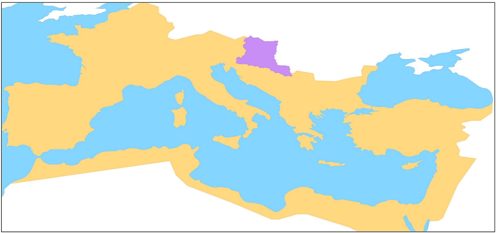
Pannonia province

Pannonia province

———————————————————————————————————————————————

1.  PANNONIA IN THE 2TH CENTURY

2. SOIL TYPES IN THE HUNGARIAN PART OF PANNONIA

3. POTENTIAL PLANT COVER OF THE PANNONIAN PROVINCES IN HUNGARY

The website is under construction - it will be continuously updated.

Editing the maps (design and drawing) by Gábor Csüllög PhD
Eötvös Loránd University Budapest, Hungary

The maps are shown with English and Hungarian titles and explanations, together with the data of the first publication.

Click on the map to open the map in a new window.

© 2025 | Proudly Powered by WordPress | Theme: Nisarg